|
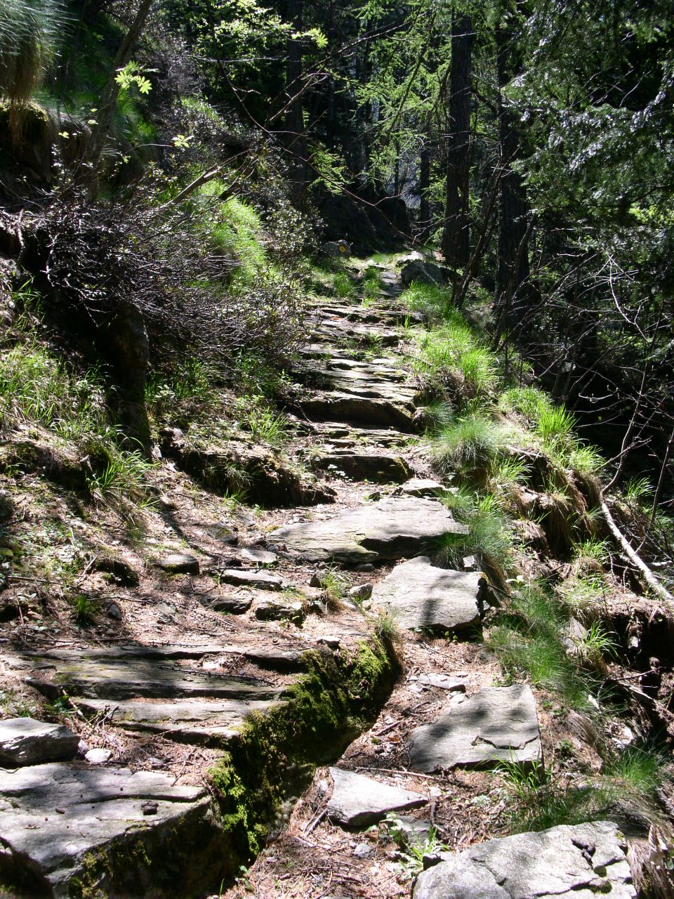
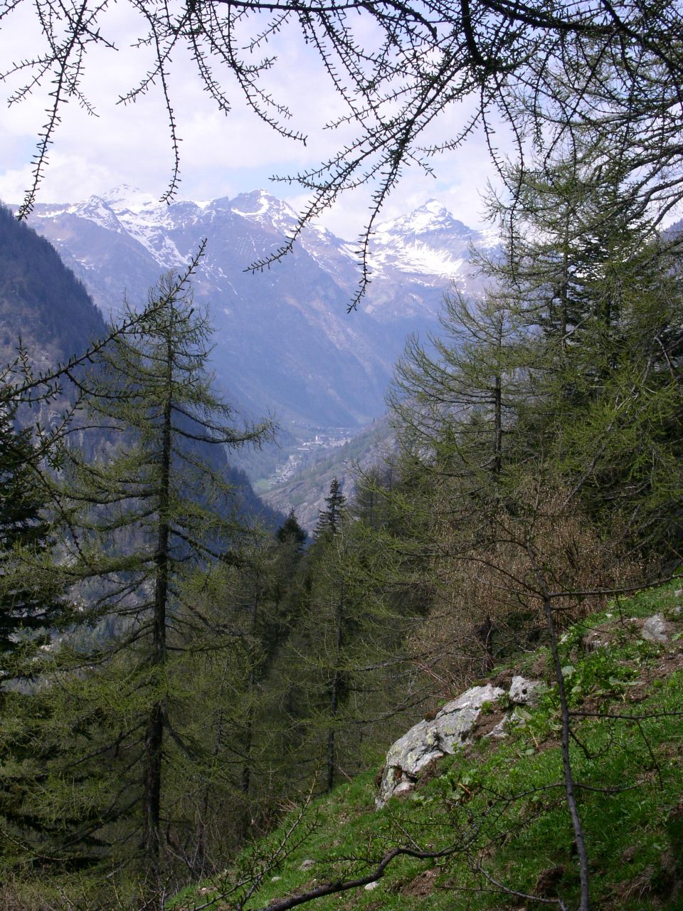
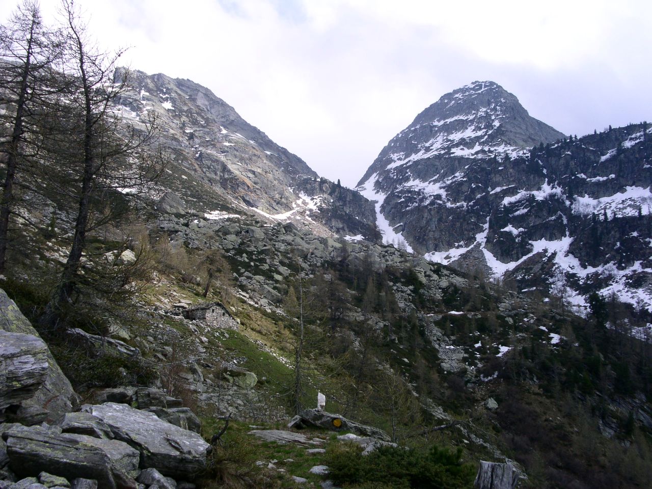
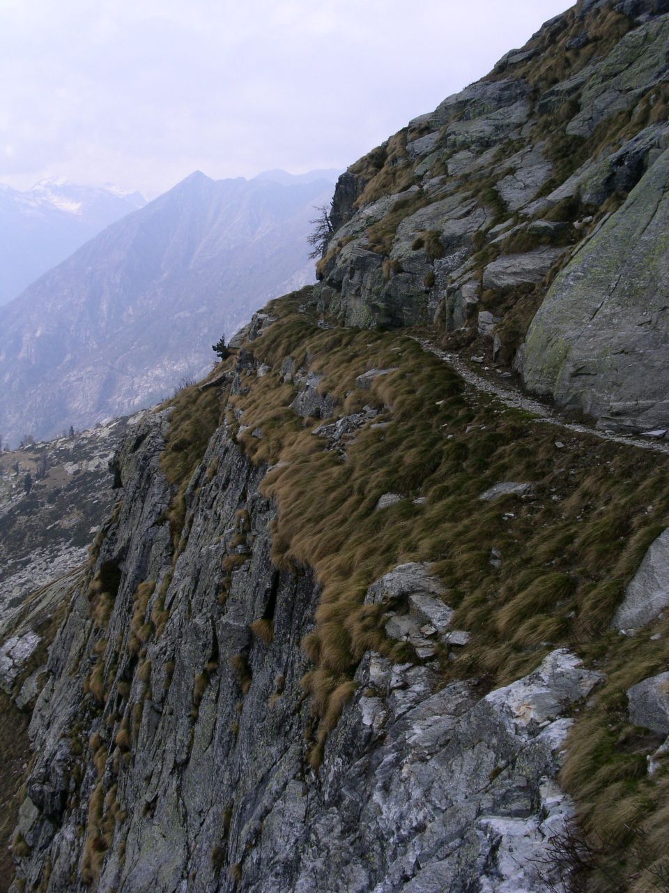
Da Pont-Saint-Martin si sale seguendo le indicazioni per Gressoney. Si attraversano diversi paesi: Tour d'Hereraz, Lillianes, Fontainemore, Issime. Dopo questo abitato, prima di arrivare nel capoluogo di Gaby, si svolta a destra su un ponte che porta ad un campeggio presso il campo da calcio comunale. E' possibile parcheggiare sul ponte o poco dopo. Si prosegue a piedi lungo la strada asfaltata superando l'ingresso del campeggio. Poco oltre, sulla destra, parte il sentiero per il Colle della Vecchia, ben evidenziato da un cartello. ARRIVO: Colle della Vecchia (2187 m) QUOTA MASSIMA: 2187 m DISLIVELLO: 1168 m LUNGHEZZA: 6.5 Km (13.0 Km) DURATA: 3:30 h (5:40 h) PERCORSO: Alla pineta di Gaby si segue la mulattiera a tornanti (pare che siano 160 circa) e si cammina dapprima nel nel bosco, poi tra i pascoli, infine su un esposto sentiero scavato nella roccia. Lungo il cammino si incontrano alcuni gruppi di baite: Lamponey (1342 m), Beccaz (1525 m), Fontane (1874 m) NOTE: In prossimità del colle è stata incisa nella roccia la raffigurazione di due ragazze che si incontrano a braccia spalancate, per simboleggiare la Valle di Gressoney e la Valle del Cervo messe in comunicazione dal Colle.Poco oltre su un'altra lastra di roccia sono scritti i nomi degli operai che contribuirono a completare la mulattiera nel 1877.Sul versante biellese si trova un rifugio a 1872 m. Proseguendo su quel versante si raggiunge Piedicavallo. From Pont Saint Martin follow the signs to Gressoney. You cross several villages: Tour d'Hereraz, Lillianes, Fontainemore and Issime. Before reaching Gaby, turn right over a bridge leading to a camping near a soccer field. You can park over the bridge or just after it. Continue on foot following the main road and passing the camping entrance. Few meters later there is a sign where the walkway to the Colle della Vecchia pass starts. END: Colle della Vecchia pass (2187 m) MAX ALTITUDE: 2187 m ALTITUDE DIFFERENCE: 1168 m LENGTH: 6.5 Km (13.0 Km) DURATION: 3:30 h (5:40 h) PATH: The walkway starting from Gaby has many hairpin bends (about 160). You walk first in the woods, then on the pastures and finally on a footway digged in the stone. The path crosses some villages: Lamponey (1342 m), Beccaz (1525 m), Fontane (1874 m) NOTES: Just before the pass, a bas-relief shows two girls saying hello to each other. They symbolically represent Gressoney and Cervo valleys linked by the pass.Few meters beyond the names of the workers that made the footway in 1877 are engraved on the stone.On Biella's side there is a refuge at 1872 m altitude. Continuing on the same way you reach Piedicavallo. |
   
|
|
|