|
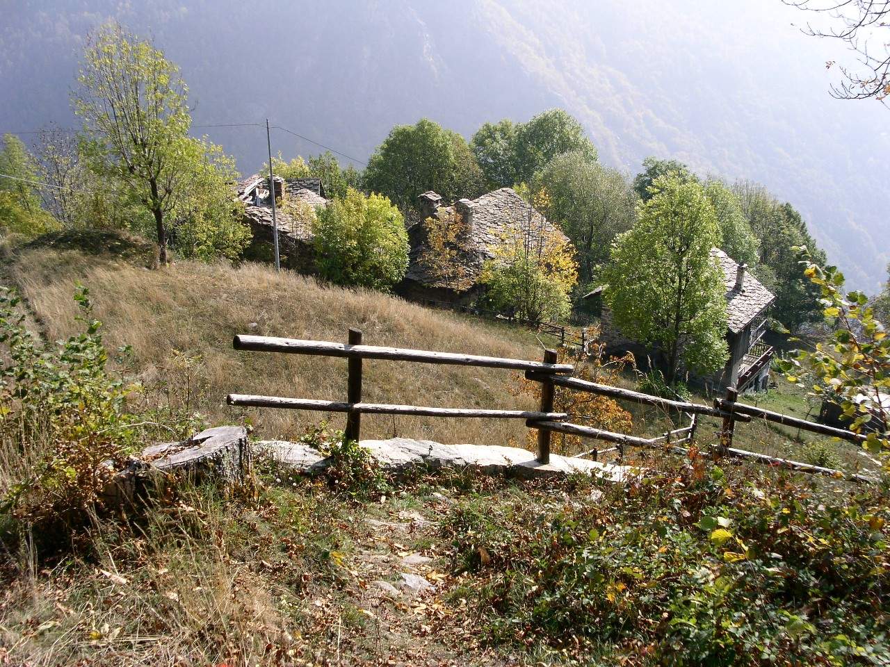
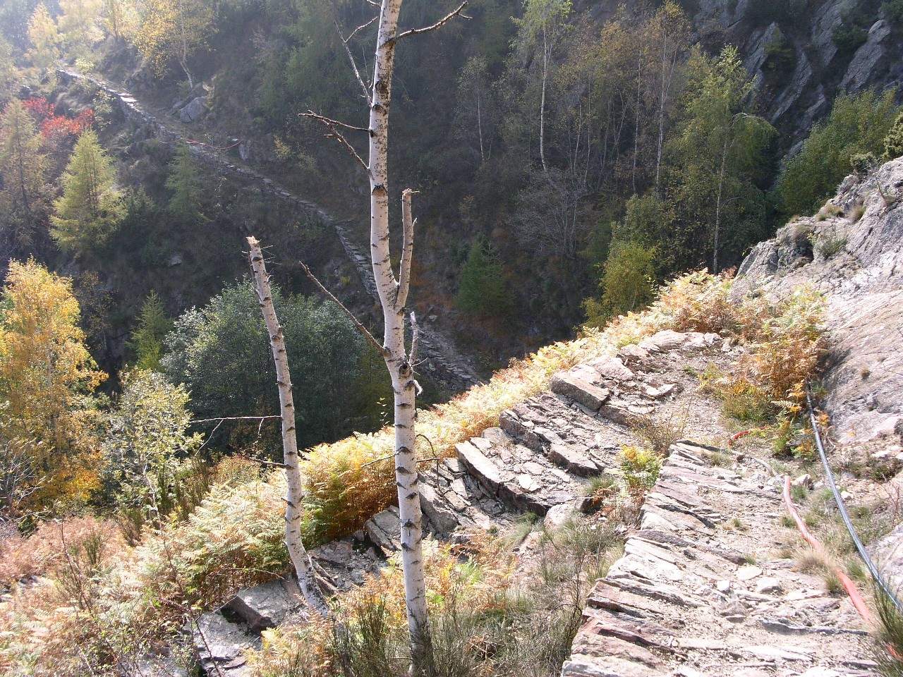
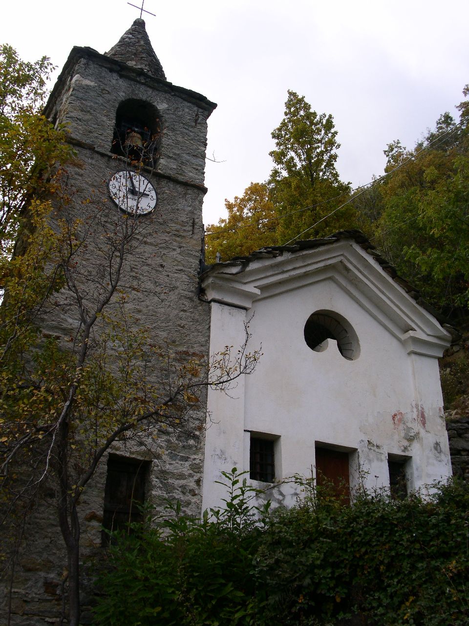
Si risale la valle di Gressoney fino a Fontainemore e dopo il paese si prosegue fino quasi ad Issime. Prima del lago artificiale si trova un cartello che segnala una palestra di roccia: si svolta a sinistra, come indicato dal cartello, e si prosegue attraversando diverse frazioni (Core', Pariassa). Giunti alla palestra di roccia si svolta a destra, si supera il caseggiato chiamato Cara e si giunge al termine della strada, all'abitado di Deles di mezzo. Si lascia l'auto nel piazzale intitolato a Luigi Chincheré, ex sindaco del comune di Fontainemore. ARRIVO: Loc. Piatta, comune di Lillianes (1031 m) QUOTA MASSIMA: 1335 m DISLIVELLO: 304 m LUNGHEZZA: 3.9 Km DURATA: 2:30 h PERCORSO: Si imbocca il sentiero che passa tra le case di Deles di mezzo e al primo bivio ci si tiene sulla destra. Durante la salita si raggiungono le baite dell'abitato di Deles di sopra. Il sentiero prosegue sulla destra della fontana al centro del villaggio. Poco oltre c'e' un nuovo bivio (BIVIO1 tra i punti GPS) in cui occorre andare a sinistra in direzione del vallone. La traccia prosegue in piano, passa davanti ad una fontana prima e a delle case poi, infine si biforca (BIVIO2 tra i punti GPS): si deve seguire la traccia a sinistra che scende verso il torrente. Superato il torrente il sentiero prosegue ben tracciato e attraversa la zona di presa dell'acquedotto di Lillianes. Si raggiungono cosi' le baite di Berlechuz, villaggio risalente al 1800 e tuttora servita da una teleferica. Il percorso prosegue poi nel bosco di castagni fino a raggiungere l'abitato di Riasseu con al centro una bella chiesetta con annesso campanile. A valle della frazione si intravede la strada sterrata in costruzione. Il sentiero continua a sinistra della chiesa e scende fino alla sterrata. Seguendo quest'ultima si giunge all'abitato chiamato Piatta da dove parte la strada asfaltata. Se si vuole percorrere la strada da Lillines a Fontainemore:subito dopo il municipio di Lillianes si svolta a sinistra su un ponte carrozzabile alla fine del quale si gira nuovamente a sinistra in direzione della chiesa parrocchiale. Si prosegue lasciando la chiesa a sinistra, fino a quando la strada si biforca. Occorre imboccare la salita e seguire la strada principale per Russi, senza effettuare deviazioni verso altre frazioni (no Senescha). Dopo Russi si continua seguendo le indicazioni per la localita Piatta, dove è possibile lasciare l'auto e proseguire a piedi lungo la strada sterrata in costruzione. Si giunge fino all'abitato di Riasseu in prossimità della piccola chiesa sopra citata. Voltando la schiena alla chiesa si imbocca la mulattiera che passa tra le case del villaggio e si percorre a ritroso il percorso descritto precedentemente. NOTE: Particolarmente importante un abbigliamento con pantaloni lunghi per proteggersi da eventuali piante spinose che si possono incontrare lungo il tracciato. Drive into Gressoney valley up to Fontainemore and then go on towards Issime. Just before the artificial lake, you'll find a sign for a climbing gym: turn left and go on passing through several little villages (Core, Pariassa).Coming to the climbing gym turn right, cross over the Cara village and continue up to the end of the road at Deles di mezzo.Leave the car in the square dedicated to Luigi Chincheré, ex mayor of the Fontainemore municipality. END: Piatta, Lillianes (1031 m) MAX ALTITUDE: 1335 m ALTITUDE DIFFERENCE: 304 m LENGTH: 3.9 Km DURATION: 2:30 h PATH: Take the walkway going through Deles di mezzo and turn right at the first junction. The climb reaches the houses of Deles di sopra. The track continues on the right of the fountain in the middle of the village.A little bit ahead there is an other junction (marked as BIVIO1 among the GPS waypoints) where you must keep the left, towards the center of the gorge. The path goes ahead horizontally, next to a fountain and some houses, and reaches a junction (BIVIO2 among the GPS waypoints): turn left descending to the brook. Crossed over this little river, the well-marked walkway passes near the aqueduct of Lilianes. You'll arrive to Berlechuz, a village built during 1800 and still served by a cableway. Going ahead through the wood of chestnut trees you'll reach the village called Riasseu with its pretty chapel and bell tower. Looking down you should see the new gravel road under construction. The walkway continues on the left of the chapel going down to this road and then to the village of Piatta where the asphalt begins. If you want to walk in the opposite direction, from Lillianes to Fontainemore:just after the city hall of Lillianes, turn left on the bridge and then left again towards the church. Go ahead with the church on your left up to a junction. Climb on the right and follow the main road to Russi without deviations (no Senescha). After Russi proceed to Piatta, where you may leave the car and continue on foot along the road under construction. You'll arrive to Riasseu near the already mentioned chapel. Leaving the church behind you, take the walkway through the houses of the village and walk in the opposite direction over the path described above. NOTES: Long trousers are strongly recommended because of some thorn bushes you could find along the path. |
  
|
|
|