|
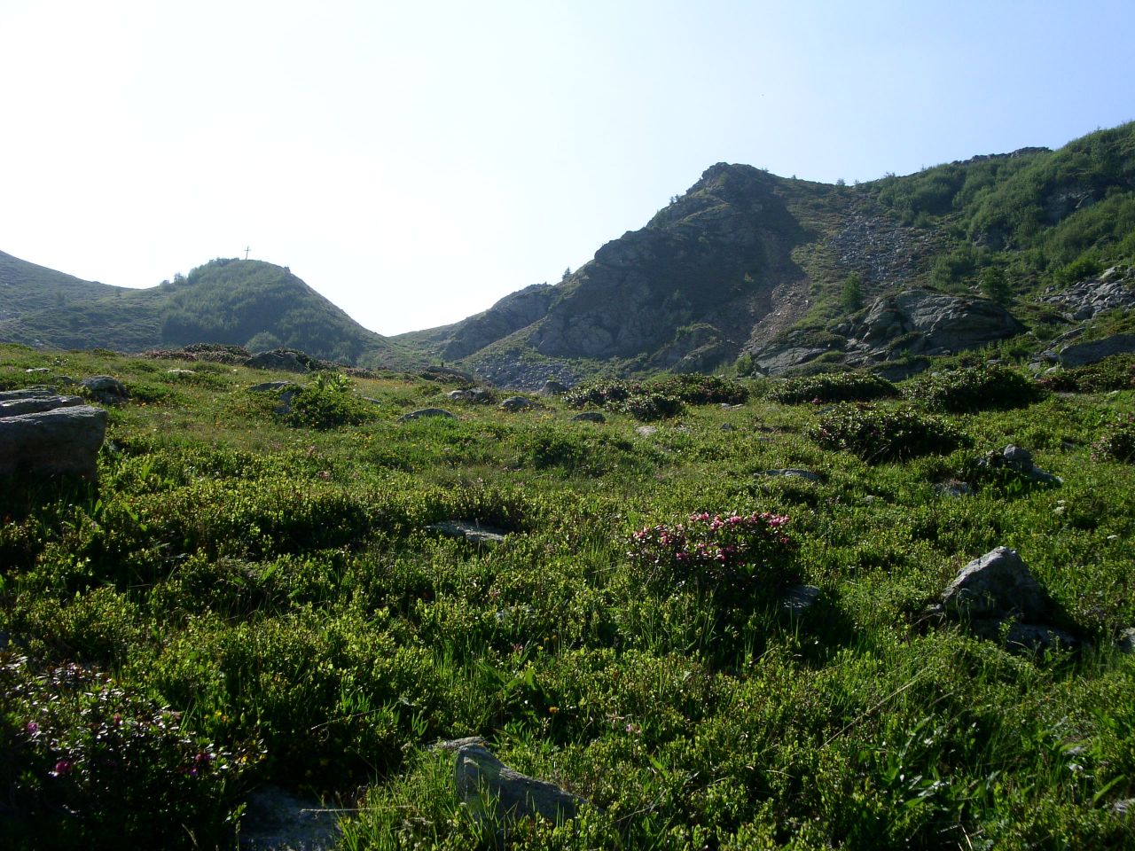
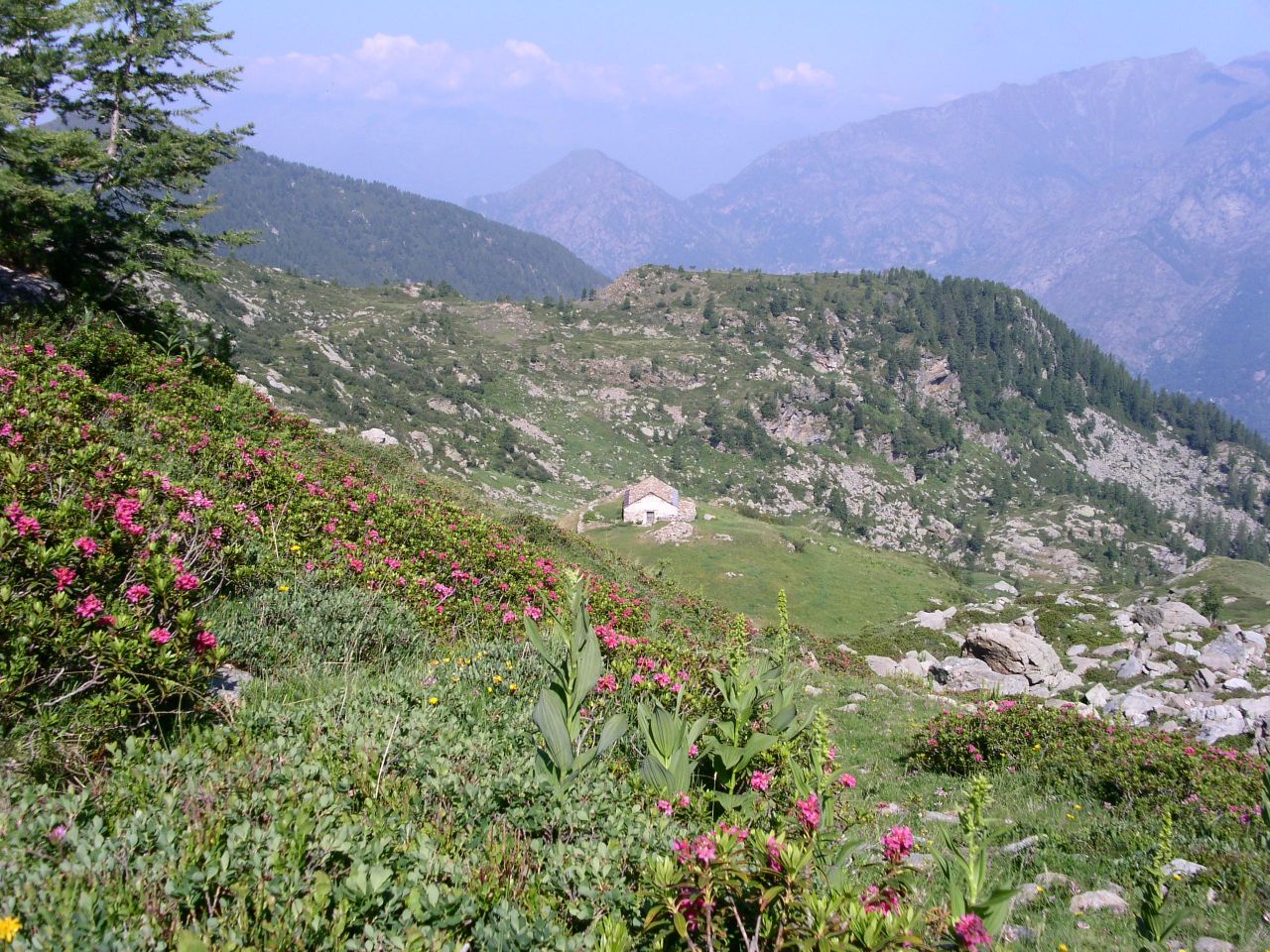
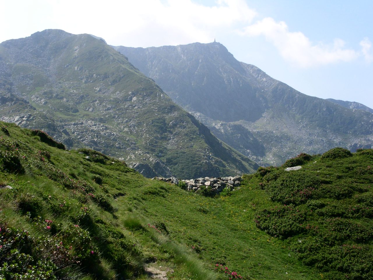
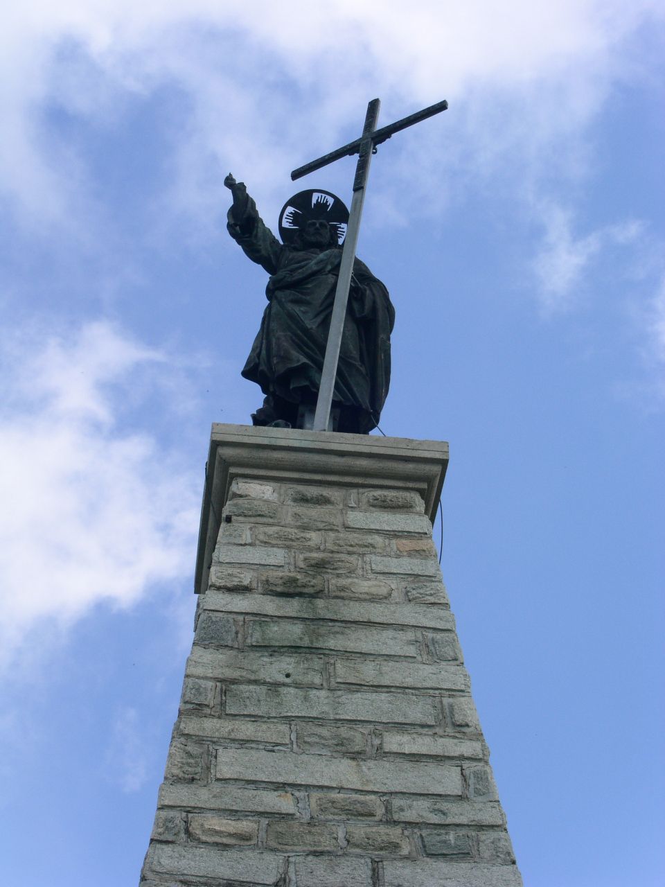
Da Pont Saint Martin risalire la valle di Gressoney fino a Lillianes. subito prima della strettoria al centro del paese, prendere la strada a sinistra seguendo le indicazioni per la valle Giassit ed il rifugio Mombarone. Si attraversano piccole frazioni: Barmotta, Barbia', Sale',Toux-las, Coeurtes, Fangeas, Mattet, Costey. Raggiunto il bivioper la cappella di S. Margherita (waypoint XSMARG) continuare diritto. Proseguire a sinistra al bivio successivo (XLEFT), attraversare Moler Inferiore e raggiungere Moler Superiore. La strada prosegue quindi sulla destra per circa 2 km fino ad un ponte sul torrente Giassit (waypoint PONTE). Il sentiero (marcato come "2A") inizia sulla curva 100 metri dopo il ponte. ARRIVO: Colma di Mombarone (2371 m) QUOTA MASSIMA: 2371 m DISLIVELLO: 900 m LUNGHEZZA: 5.5 Km (11.0 Km) DURATA: 3:15 h (5:30 h) PERCORSO: Il sentiero entra nel boschetto costeggiando il torrente. Sale con pendenza regolare fino all'alpeggio Giassit e raggiunge l'omonimo colle (1:30 h). Da colle e' gia' possibile vedere la vetta del Mombarone. Seguire quindi il sentiero sulla sinistra in direzione del passo della Lace (2 h) da dove e' possibile godere di una bella vista sulla regione di Biella anche se spesso il panorama e' offuscato dalle nuvole sul lato Piemontese. Dal passo della Lace, il sentiero prosegue lungo la cresta fino alla vetta del Mombarone con la grande statua sulla cima (3:15 h, 1:15 h dal passo della Lace). Pochi metri sotto la vetta c'e' il rifugio Mombarone. NOTE: La Colma di Mombarone e molto conosciuta ed amata dalla gente di Ivrea e di Biella. Ogni anno da Ivrea parte una corsa podistica che raggiunge la vetta. From Pont Saint Martin drive into the Gressoney valley up to Lillianes. Just before the narrow passage into the village turn left and folow the signs to"val Giassit" and "Rifugio Mombarone". You will cross several small villages: Barmotta, Barbia', Sale',Toux-las, Coeurtes, Fangeas, Mattet, Costey. Go straight when reaching S. Margherita chapel (XSMARG waypoint). Go left at the next junction (XLEFT waypoint), cross Moler Inferiore village and reach Moler Superiore (XMOLER waypoint). The road continues on the right for about 2 km up to a bridge on the Giassit brook (PONTE waypoint). The footpath (marked as "2A") starts from the turn 100 meters after the bridge. END: Mombarone peak (2371 m) MAX ALTITUDE: 2371 m ALTITUDE DIFFERENCE: 900 m LENGTH: 5.5 Km (11.0 Km) DURATION: 3:15 h (5:30 h) PATH: The footpath enters in the grove and starts going along the brook. I climbs with a regular slope, crosses the Giassit village and reaches the Giassit pass (1:30 h). From this pass you already see the Mombarone peak. Follow the way on your left towards the Lace pass (2 h) where it is possible to enjoy a great view on the Biella region even if the wide landscape is often obfuscated by clouds on the Piemonte side. From the Lace pass, the footpath continues along the ridge up to the Mombarone peak with its big statue on the top (3:15 h, 1:15 h from Lace pass). The Mombarone refuge is few meters below the top. NOTES: The Colma di Mombarone is a known and beloved mountain by Ivrea and Biella people. Every year a skyrunner race starts from Ivrea and goes to peak. |
   
|
|
|