|
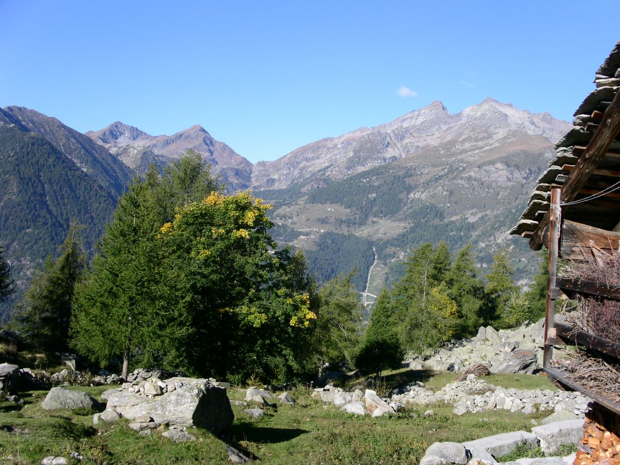
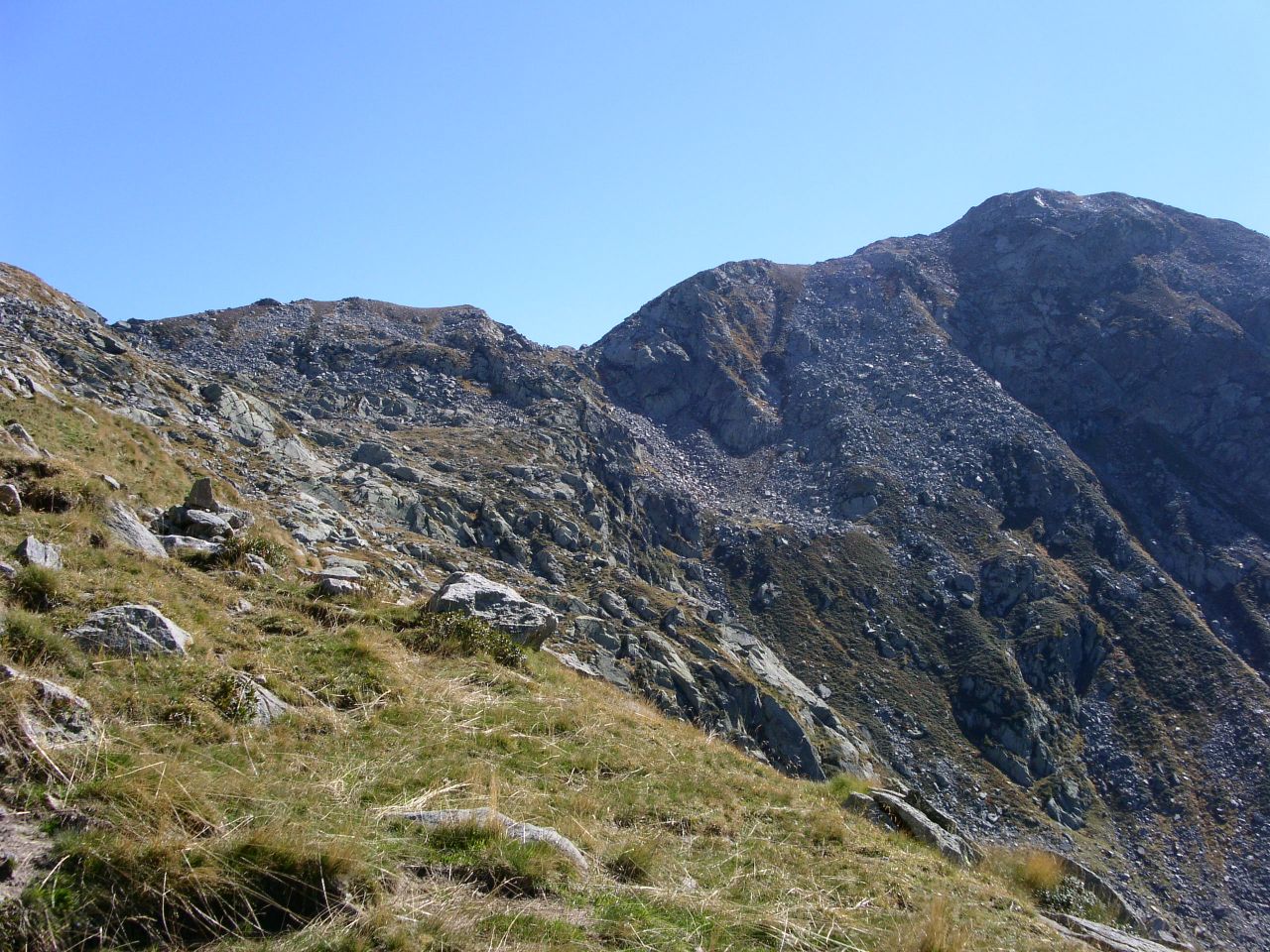
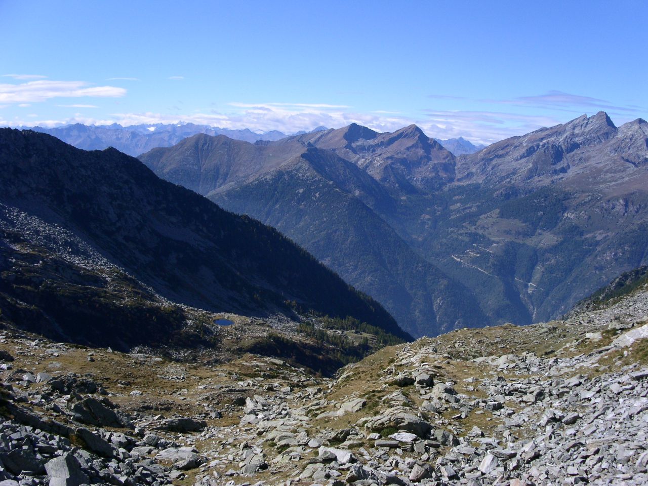
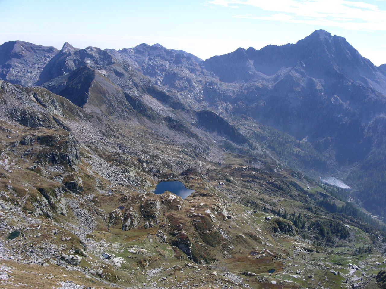
Da Pont Saint Martin si sale seguendo le indicazioni per Gressoney. Si attraversano diversi paesi: Tour d'Hereraz, Lillianes, Fontainemore e si arriva a Issime. Prima di entrare nel paese is attraversa un ponte in direzione delle frazioni di Seingle e Chincherez. Dopo il ponte svoltare a destra e andare ancora a destra al bivio successivo. Poco prima di arrivare a Chincherez, subito prima del torrente Tourrison, si apre uno spiazzo in cui parcheggiare. ARRIVO: Monte Pietre Bianche (2490 m) QUOTA MASSIMA: 2490 m DISLIVELLO: 1534 m LUNGHEZZA: 7.2 Km (14.4 Km) DURATA: 5:00 h (8:30 h) PERCORSO: Dal luogo in cui si e' parcheggiata l'auto si sale con il torrente sulla sinistra e si passa sotto il canale che alimenta la centrale elettrica di Issime. Di li a poco il sentiero curva a sinistra e attraversa un ponte in pietra. La mulattiera e' marcata con il segnavia "3". Dopo aver superato l'abitato di Lasiti si arriva al Bioley dove sorge una cappella. Costeggiandola sulla destra il sentiero prosegue verso Vasir e successivamente si biforca (punto "XLEFT1" nel percorso GPS): seguire il ramo a sinistra, anche se potrebbe sembrare meno marcato. Si arriva a Krechtaz, dove sorge una baita del 1889, poi a Tschannavellji ed infine a Tourrison (Turrudschu)(1645 m). Dopo questo alpeggio occorre prestare attenzione a non proseguire troppo a lungo vicino al torrente: in corrispondenza del punto marcato come "XLEFT2" nel percorso GPS si sale decisamente verso nord. Il sentiero conduce a Kredemi, dove si puo' vedere una baita il cui muro posteriore e' rinforzato da un consistente cumulo di pietre, in modo da renderla resistente alle valanghe che frequentemente interessano la zona nel periodo invernale. La traccia sale ancora ed incontra le case di La Mianda per giungere quindi al Lago Chiaro. La salita riprende e porta prima al Pian de l'omo ed infine, dopo aver attraversato una pietraia, al Colle del Lupo. Per proseguire verso il Monte Pietre Bianche, si prende la cresta a destra. La via e' marcata con bollini blu. Dopo aver superato alcuni passaggi leggermente esposti si arriva sulla vetta (2490 m), caratterizzata dalla presenza di grossi blocchi di quarzo bianco e da una bella vista, spesso purtroppo offuscata da nubi sul versante piemontese. NOTE: Arrivando a Tourrison si vede una baita a destra, recentemente ristrutturata. Essa e' stata teatro di una strana vicenda accaduta alla fine del 19° secolo e il cui rendiconto e' stato riportato dall'allora parroco di Issime sui libri della chiesa parrocchiale. Don Vesan racconta che all'interno della baita si materializzavano pietre volanti che colpivano gli astanti. La notizia aveva attirato molti curiosi, che venivano ospitati dalla famiglia proprietaria dell'edificio nella speranza che qualcuno svelasse l'arcano e facesse cessare i fenomeni. Nessuno pero' riusci' a trovare una spiegazione, neppure il parroco, che vi assistette in prima persona. From Pont Saint Martin follow the signs to Gressoney. You cross several villages: Tour d'Hereraz, Lillianes, Fontainemore and you arrive in Issime. Before entering the village take the bridge towards Seingle and Chincherez. After the bridge turn right and then right again at the next junction. Before coming to Chincherez, close to the Turrison brook,you find a place to park the car. END: Pietre Bianche peak (2490 m) MAX ALTITUDE: 2490 m ALTITUDE DIFFERENCE: 1534 m LENGTH: 7.2 Km (14.4 Km) DURATION: 5:00 h (8:30 h) PATH: Once parked the car, start walking with the brook on your left and pass under the canal feeding the Issime power plant.Then the footpath turns left and crosses a stoned bridge. The way is marked as "3".After the Lasiti village you reach Bioley where a chapel stands. On the right side, the path goes on towards Vasir up to a junction ("XLEFT1 point in the GPS track):follow the left even if it could look less marked. You reach Krechtaz with an old house built in 1889, then Tschannavellji and finally Tourrison (Turrudschu)(1645 m). After this village pay attention and do not continue too much along the brook: at the "XLEFT2" waypoint of the GPS log file take the northward direction. The footpath reaches Kredemi where you see a house having the wall reinforced by a big stone bunch. It is a protection against avalanches that are quite common there during winter. Then the path continues up to the La Mianda pasture and finally to the Lago Chiaro lake. By continuing the climb, the way takes you to the pasture called Pian de l'omo and finally, after having crossed a heap of stones, up to the Colle del Lupo pass. To continue towards the Pietre Bianche peak, follow the ridge on the right side. The footpath is marked with blue dots.After having passed on some overhanging rocks, you'll reach the peak (2490 m), with its remarkable white blocks of quartz stone. The wide landscape is often obfuscated by clouds on the Piemonte side. NOTES: Coming to Tourison you'll see a house on your right recently restored. Strange phenomena happened there at the end of the 19th century and they were reported by the Issime parish parson within the church books. Reverend Vesan tells that inside the house used to appear flying stones hitting the people inside. Once heard these news, lot of people came and was hosted by the family living there to help them to understand this mystery and to stop it. Nevertheless, nobody, including the parson, was able to find out a reasonable explanation. |
   
|
|
|