|
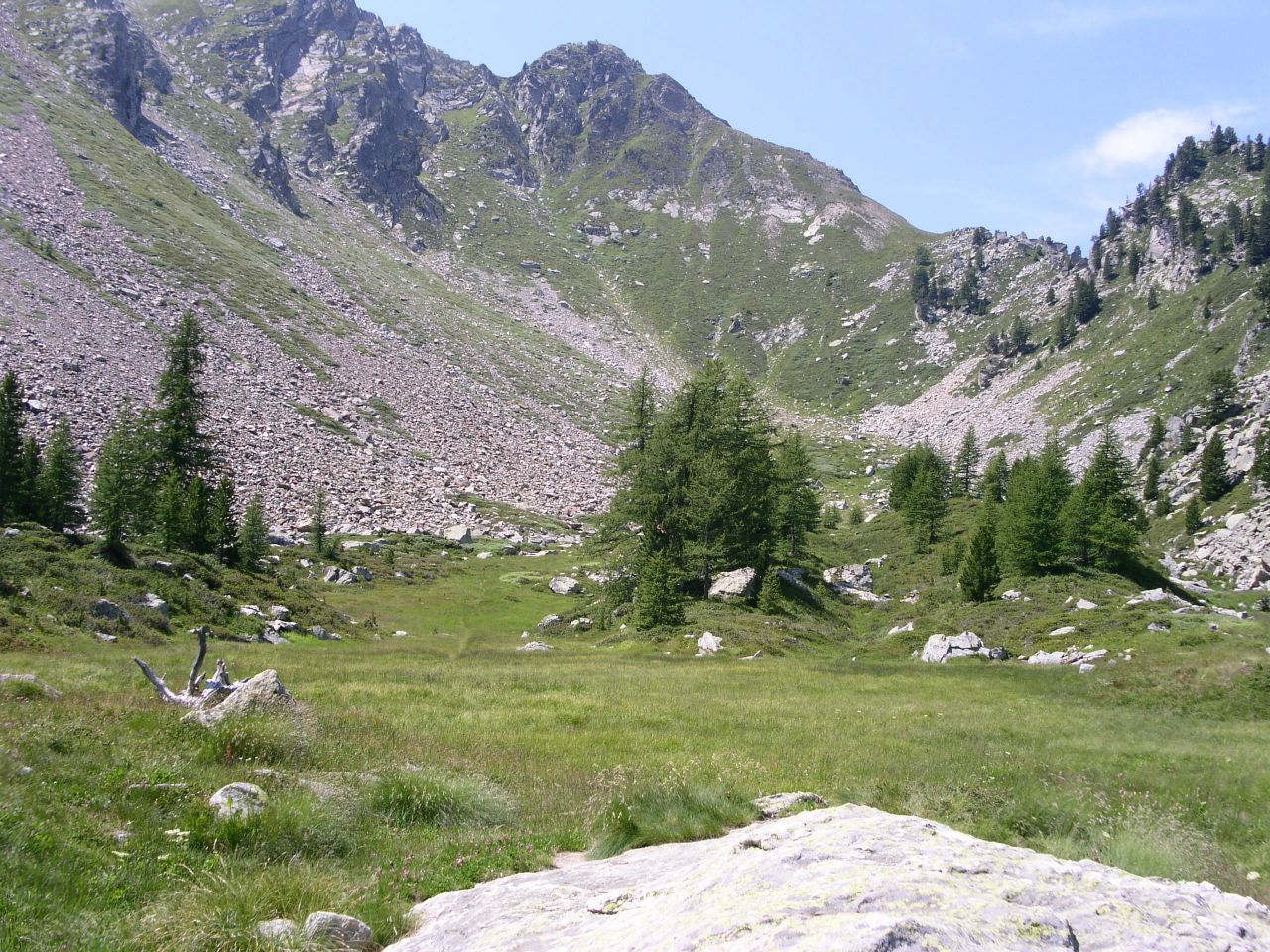
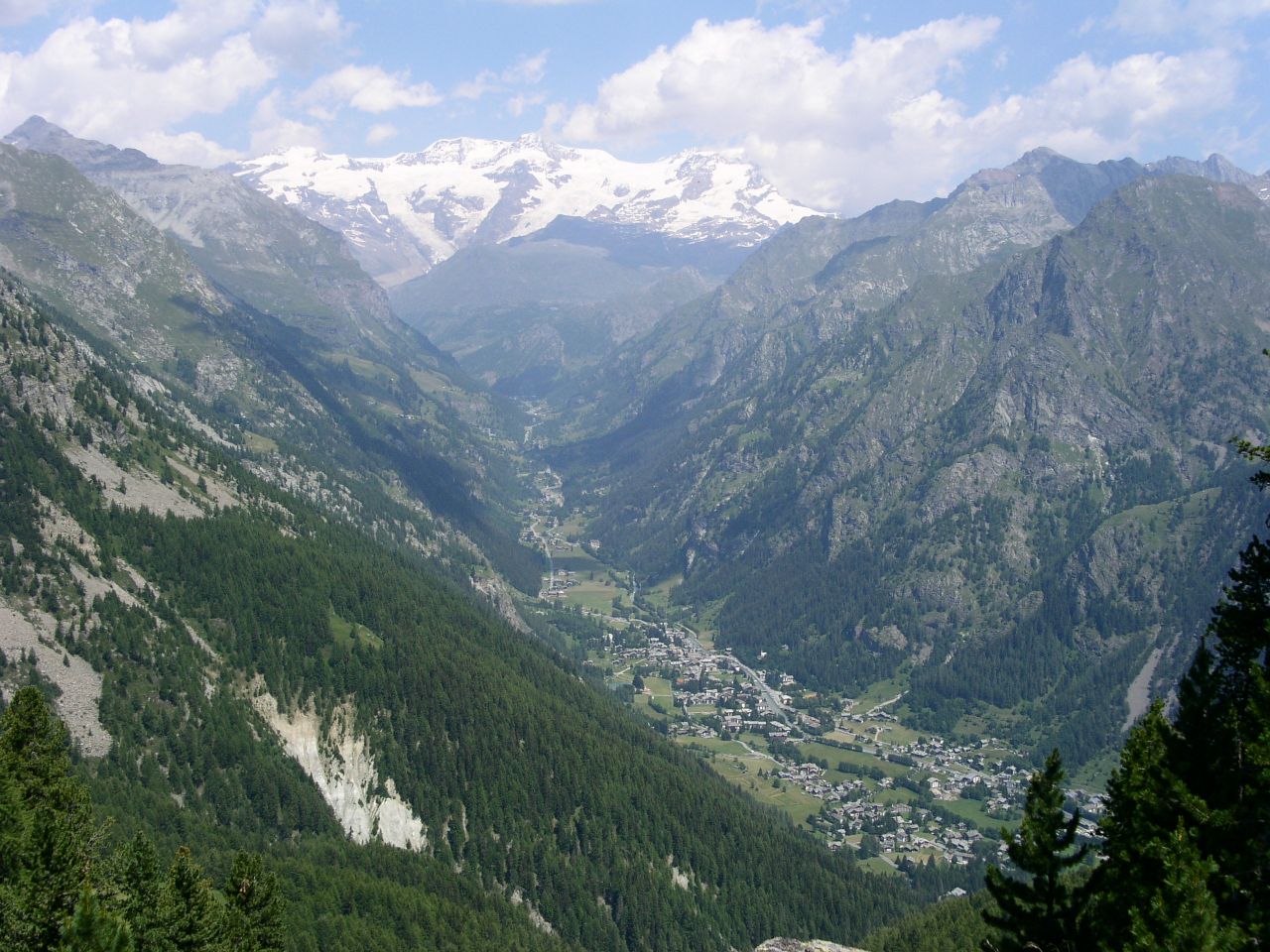
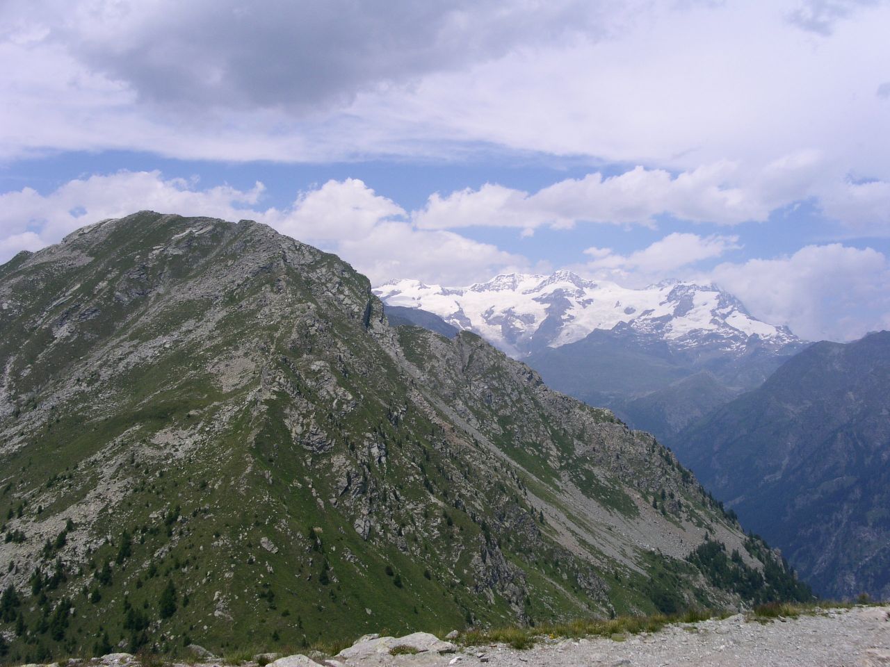
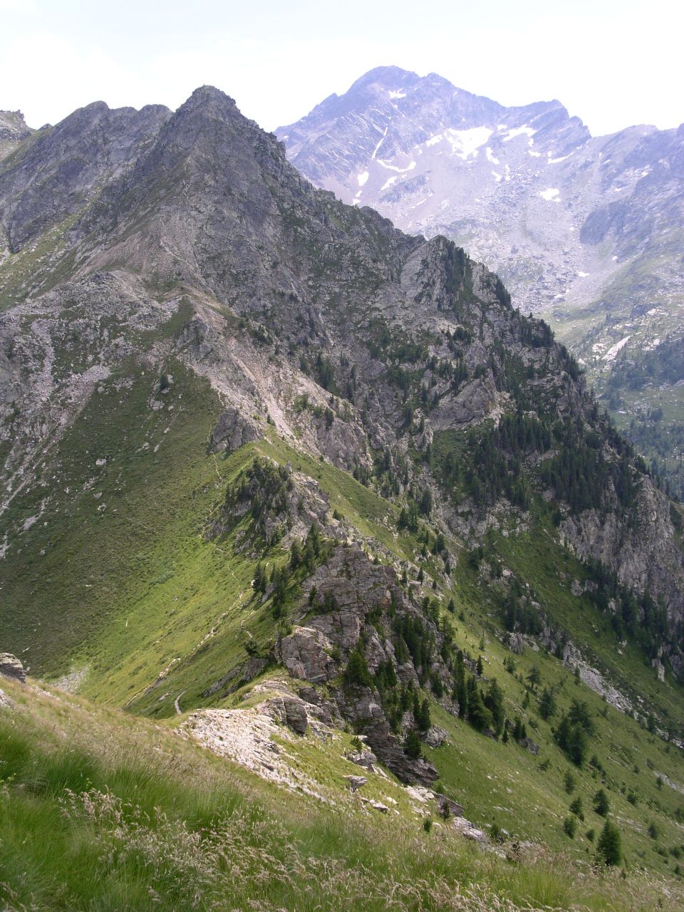
Da Pont Saint Martin risalire la valle di Gressoney fino a Gressoney Saint Jean.In località Bielciucken (m 1360) parte la seggiovia che porta a Weissmatten (m 2046). ARRIVO: Punta Regina (2388 m) QUOTA MASSIMA: 2388 m DISLIVELLO: 346 m LUNGHEZZA: 2.7 Km (5.4 Km) DURATA: 1:30 h (2:30 h) PERCORSO: All'arrivo della seggiovia si trova un ristoro alle cui spalle comincia il sentiero 3A che conduce a Punta Regina. Dopo 15 minuti circa di cammino si incontrano le baite di Wissomatto (m 2161): i prati circostanti possono essere meta per un gradevole pic-nic. Il sentiero curva a destra, si attraversa una pietraia e dopo altri 15 minuti si arriva ad uno spettacolare belvedere su Gressoney e sul Monte Rosa. Poco oltre, superato il passo della Gombetta, comincia la ripida discesa che dopo 20 minuti raggiunge il laghetto omonimo. Continuando sulla sinistra una salita pronunciata porta in 30 minuti alla vetta. NOTE: La discesa dopo il passo della Gombetta e' attrezzata con cavi d'acciaio per aiutare gli escursionisti. Il laghetto della Gombetta in giugno accoglie numerosi girini, ma in annate con poca neve puo' essere asciutto. Seguendo il sentiero 3B, che passa a destra dopo il laghetto, si raggiunge il colle della Ranzola (m 2170). Questo colle e' stato attraversato dalle truppe napoleoniche, inoltre una targa ricorda che Tolstoj vi transito' nel 1857. From Pont Saint Martin drive into the Gressoney valley till to Gressoney Saint Jean. A chair lift starts from Bielciucken (m 1360) and reaches Weissmatten (m 2046). END: Punta Regina peak (2388 m) MAX ALTITUDE: 2388 m ALTITUDE DIFFERENCE: 346 m LENGTH: 2.7 Km (5.4 Km) DURATION: 1:30 h (2:30 h) PATH: At the chairlift arrival, behind the snack bar, the path 3A conducing to Punta Regina peak begins. After 15 minutes you get Wissomatto houses (m 2161): the surrounding meadows are a good place for picnic. The path turns on the right, it passes through a heap of stones and after 15 minutes arrives to a spectacular observation point on Gressoney and Monte Rosa. A little further, after Gombetta Pass, a steep descent begins and in 20 minutes you are at Gombetta lake. On the left a steep slope leads to the peak in 30 minutes. NOTES: The slope after Gombetta Pass is equipped with some steel cables to help hikers. Gombetta lake holds many tadpoles in June, but when winter has little snow it can be dry. Following 3B way, which proceeds on the right after the little lake, you get Ranzola Pass (m 2170). It was crossed by Napleon Army during Italy invasion and by Tolstoj in 1857. |
   
|
|
|