|
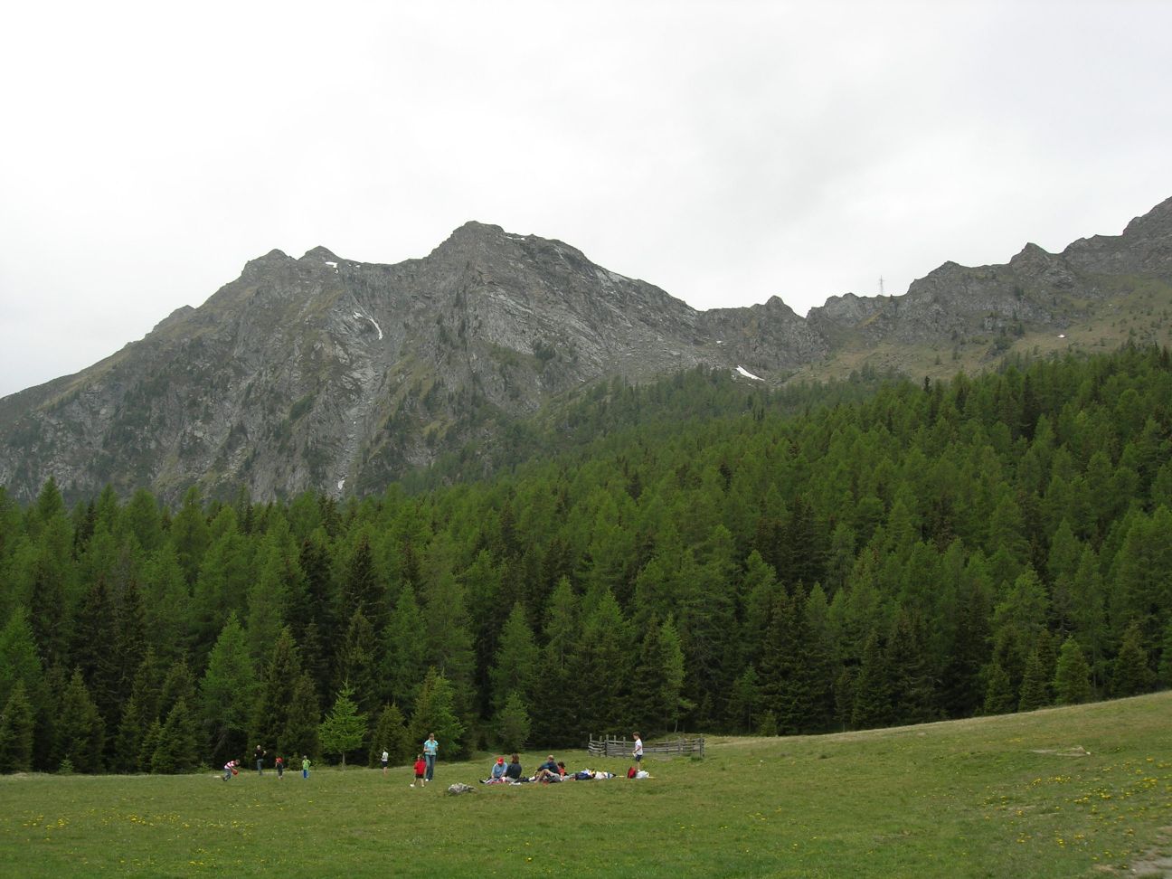
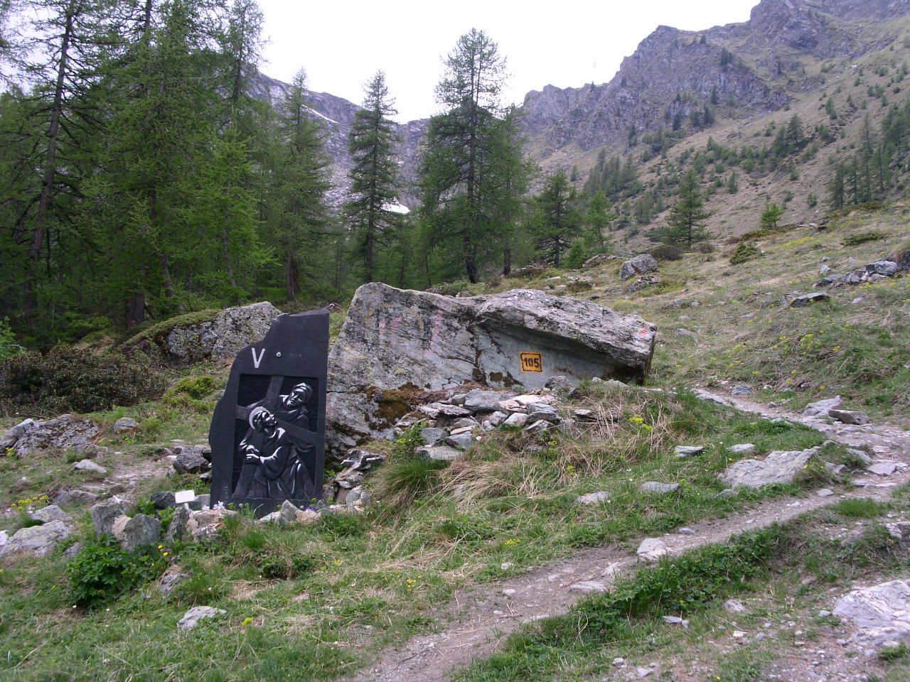
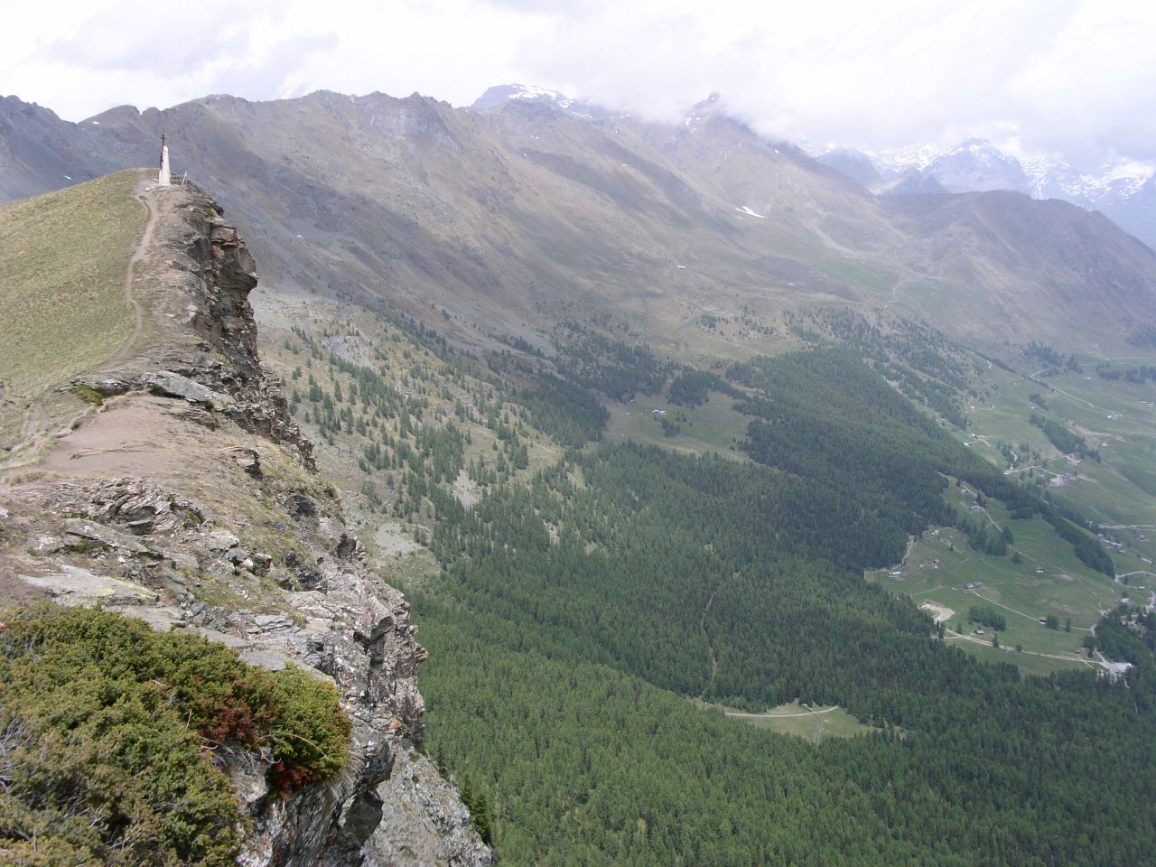
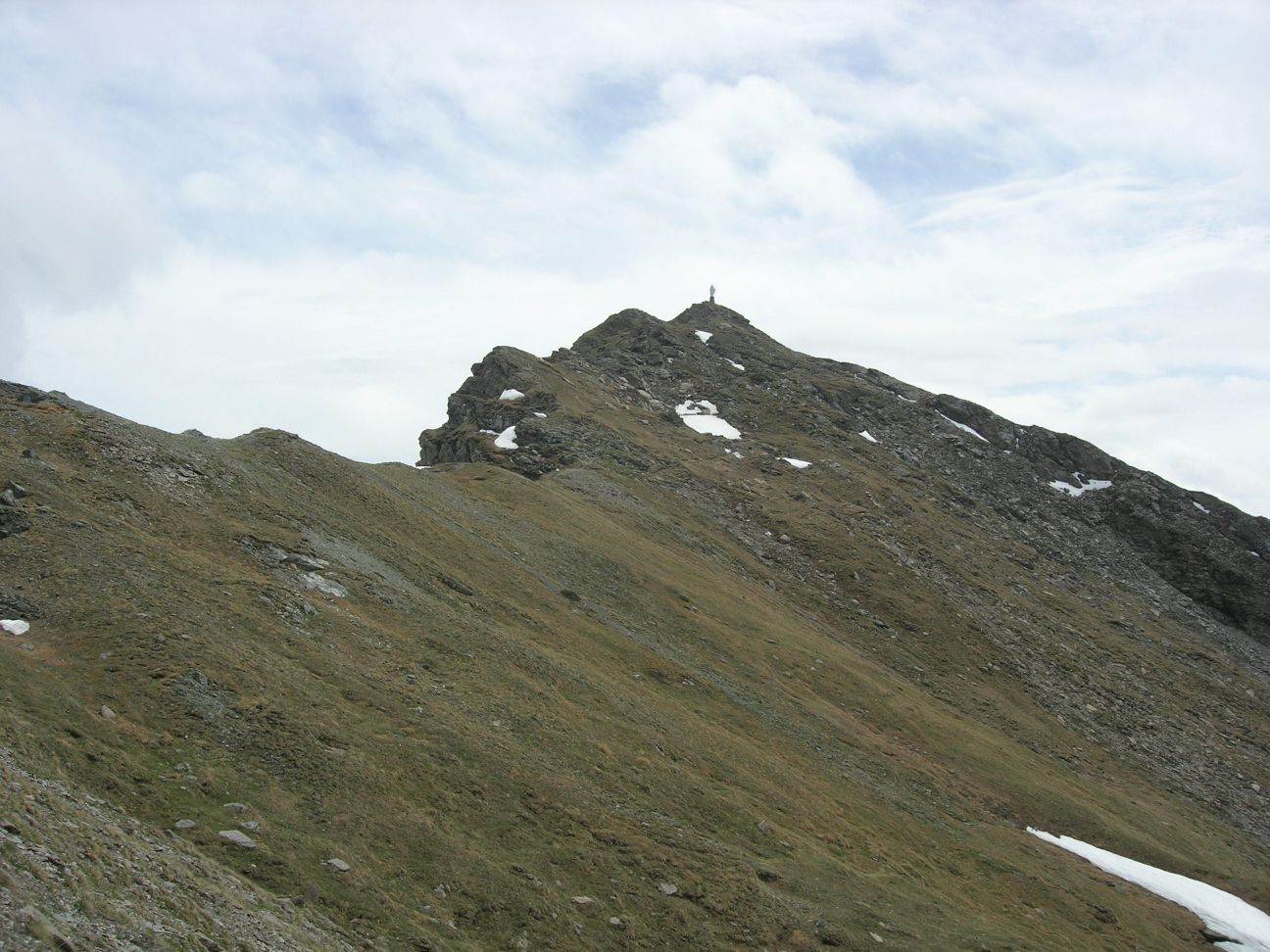
Da Verres si sale seguendo le indicazioni per Champoluc. Si attraversano diversi paesi: Challant Saint Victor, Challant Saint Anselme, Brusson, Extrepiera. Raggiungendo Corbet, svoltare a sinistra seguendo le indicazioni per Antagnod. Arrivati in paese, salire in direzione di Barmasc. Al termine della strada, si lascia l'auto sul grosso piazzale. ARRIVO: Monte Zerbion (2719 m) QUOTA MASSIMA: 2719 m DISLIVELLO: 800 m LUNGHEZZA: 4.0 Km (8.0 Km) DURATA: 2:15 h (3:40 h) PERCORSO: Il percorso verso il Monte Zerbion (segnavia 105) parte dal piazzale con una larga strada sterrata che si infila nel bosco. Dopo 10 minuti di cammino si arriva ad un grosso prato, chiamato Pian delle Signore, circondato da larici e abeti ed attraversato dal Ru Courtaud, un antico canale di irrigazione. Superato il prato, si prosegue dritti in direzione Ovest lasciando la strada sulla sinistra (punto "BIVIO" sul percorso GPS). Si entra nuovamente nel bosco che viene definitivamente abbandonato dopo circa 30 minuti. Si risale quindi lungo il costone e, dopo un'ultimo tratto leggermente piu' ripido, si giunge al Colle Portola da dove si puo' godere di un bel panorama sulla valle di Ayas e sulla Valtournanche (2410 m, 1:15h). Il sentiero proseque quindi lungo la cresta fino a raggiungere la vetta del monte Zerbion con la grande statua gia' visibile dal colle. Dalla cima si gode di una spettacolare vista a 360° su tutta la Valle d'Aosta. NOTE: Lungo il percorso si snoda una Via Crucis con le stazioni marcate da sculture in bassorilievo su pietra. Barmasc e' noto per un santuario edificato accanto ad una sorgente. Il luogo e' stato molto probabilmente frequentato per riti religiosi sin dalla preistoria. From Verres follow the signs to Champoluc. You cross several villages: Challant Saint Victor, Challant Saint Anselme, Brusson, Extrepiera. Reaching Corbet, turn left towards Antagnod. From this village, follow the signs to Barmasc. At the end of the road, leave the car on the big square. END: Monte Zerbion peak (2719 m) MAX ALTITUDE: 2719 m ALTITUDE DIFFERENCE: 800 m LENGTH: 4.0 Km (8.0 Km) DURATION: 2:15 h (3:40 h) PATH: The path to Mount Zerbion (marked as 105) starts from the square as a large gravel road entering in the wood. After 10 minutes you reach a large meadow, called Pian delle Signore ("Ladies plateau"), surrounded by firs and larches and crossed by an old irrigation brook called Ru Courtaud. Passing the meadow, continue towards West leaving the road on your left (point marked as "BIVIO" in the GPS track). You enter in the wood again and you definitely leave it after about 30 minutes. Climbing along the mountain slope, after the last more steeped leg, you reach Colle Portola pass that has a fine view over Ayas and Valtournanche valleys. The footpath continues along the ridge up to the Monte Zerbion peak with its big statue that you can already see from the pass. The peak has a great 360° view over the whole Aosta Valley. NOTES: Along the whole path are Stations of the Cross marked with carved stones. Barmasc is well known because of a sanctuary built close to a water spring. The place has been very likely used for religious rituals since prehistory. |
   
|
|
|