

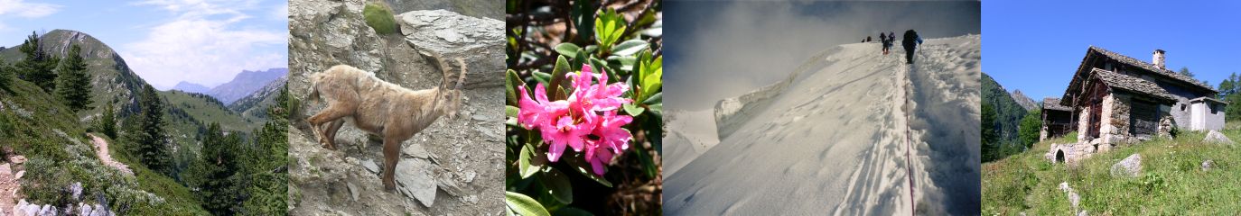
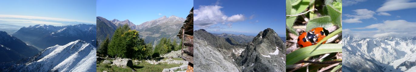
Le descrizioni sono corredate da foto e dalla registrazione GPS del percorso. Nella pagina relativa a ciascuna escursione e' possibile aprire una finestra che visualizza il percorso su una foto aerea o sulla mappa topografica OpenTopoMap. La stessa finestra permette anche di identificare la propria posizione rispetto al percorso e puo' quindi rappresentare un valido aiuto per orientarsi, ad esempio nei tratti in cui il sentiero non sia ben definito. E' ovviamente anche possibile scaricare il percorso su di un proprio GPS portatile. Nel caso in cui l'escursione richieda un ritorno lungo lo stesso percorso, vengono riportati tra parentesi la lunghezza complessiva ed una stima della durata totale. Che altro dire? Buone camminate! Each description comes with some photos and a GPS log file of the track. In the page devoted to each specific hike you can open a windows showing the track on an aerial view or on the OpenTopoMap topographic map. The same windows allows you to identify your position relative to the track. It can therefore be a valid support to find out your direction, for example in cases where the footpath is not clearly marked. Of course you can also download the track on your own portable GPS device. In case a return along the same path is needed, the total length and the estimated total duration are reported inside parentheses. What else to say? Enjoy the hikes! |
||||||||||||||||||||||||||||||||||||||||||||||||||||||||||||||||||||||||||||||||||||||||||||||||||||||||||||||||||||||||||||||||||||||||||||||||||||||||||||
|
||||||||||||||||||||||||||||||||||||||||||||||||||||||||||||||||||||||||||||||||||||||||||||||||||||||||||||||||||||||||||||||||||||||||||||||||||||||||||||
|


